
Somewhere along the way, adventures became data. We'd like to change that.
A ride is a segment time, a walk is a step count, a climb is a number to beat next time. We think that's the wrong thing to emphasize. The stats are the least interesting part of any day out, and they're often all that survives. Folklora exists to create a memory of an adventure, a picture of what it felt like, rather than a readout of what was measured.

turn your
ride
run
climb
hike
into folklore
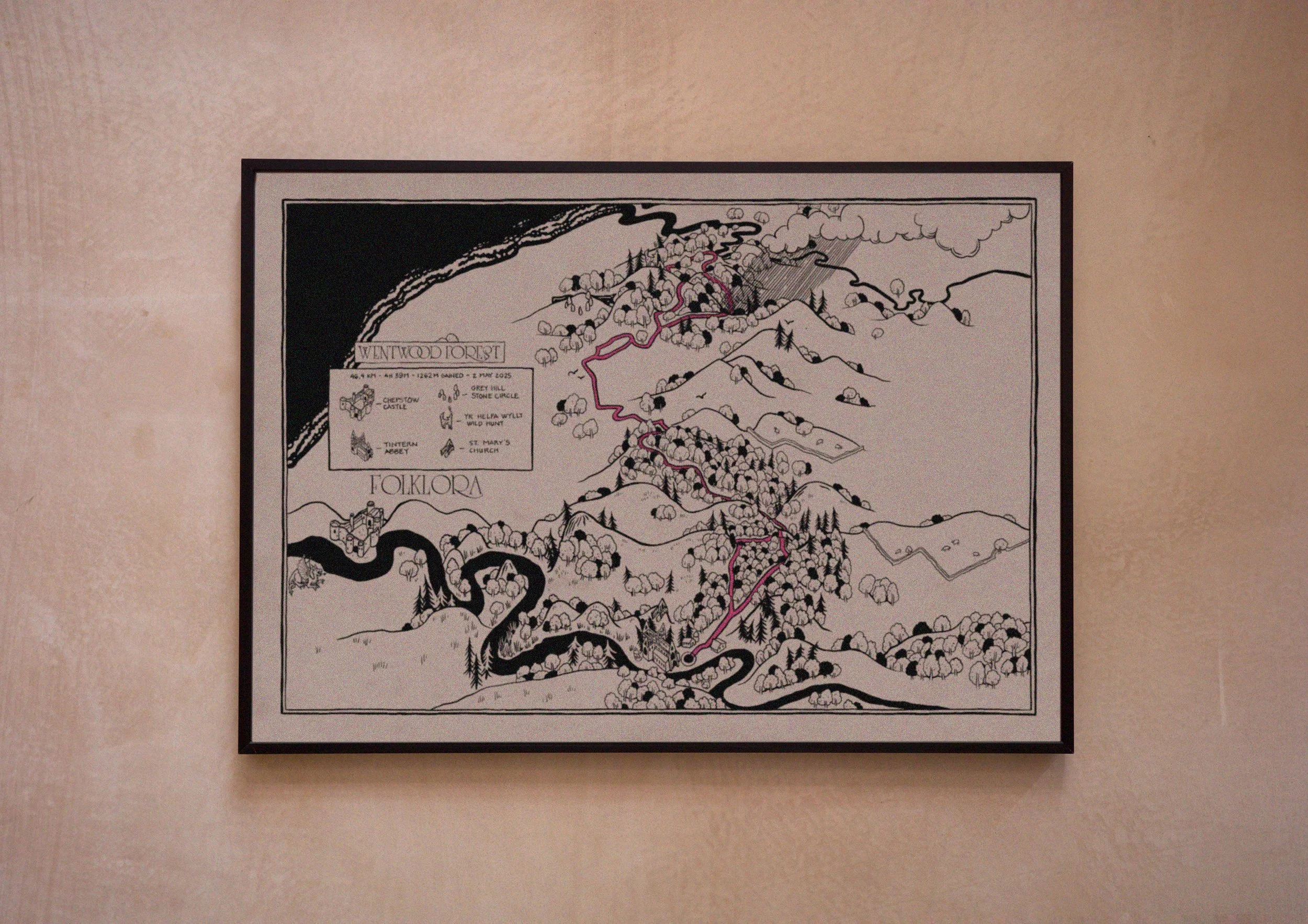
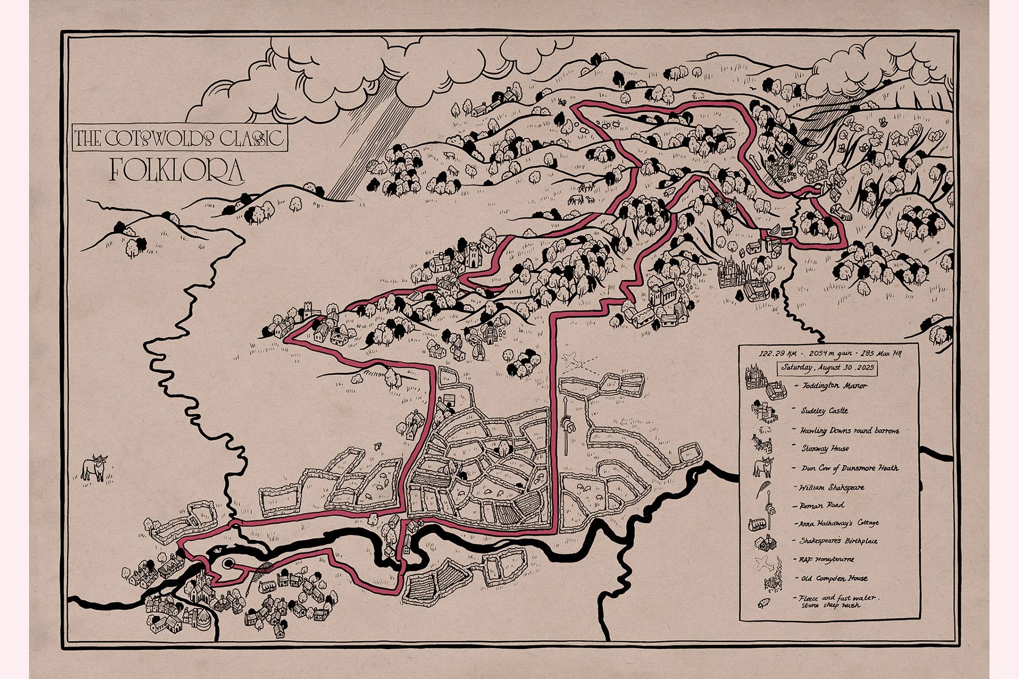
We make individually drawn maps of your adventures. Starting with the route you travelled, we turn the places explored and the stories collected along the way into a unique illustrated map. Your finished Folklora is a hand-made record of your adventure, created individually and printed as an archival-quality art print.
Every Folklora starts with a route. Some of them are yours — a ride, a walk, a climb you'd like kept as more than a line on a screen. Send us the route and what happened along the way, and we'll draw it. Others belong to everyone: the legendary roads we've drawn for our own collection, ready to frame. You'll find both below.
Your Adventure
Some adventures stay with you.
A ride through the mountains, a long-distance trail, a run somewhere unforgettable. We take your route, the things that happened along the way and the stories held within the landscape, and bring them together in a completely bespoke, individually drawn map — your adventure, made into folklore.

Share your route
Upload your Strava activity or GPX file. This gives us the route — the thread around which your map will be drawn.
Tell us what happened
Every route has a story. Tell us about yours: the weather, the views, the wrong turns, the café stops, the wildlife you spotted, and the moments you won't forget.
We explore the landscape
Then we follow your route ourselves — researching its landscape, flora and fauna, history, landmarks, legends and folklore.
We compose your map
We bring your route, your memories and our research together, deciding what belongs in the landscape and how the story of your adventure should unfold across the page.
Drawn individually, just for you
Then we draw. Every Folklora map is individually composed and illustrated for a single activity. No templates. No generic printout of your activity data. Every line drawn by hand.
A one-of-a-kind drawing of your adventure.


Our Favourites
Some rides belong to all of us.
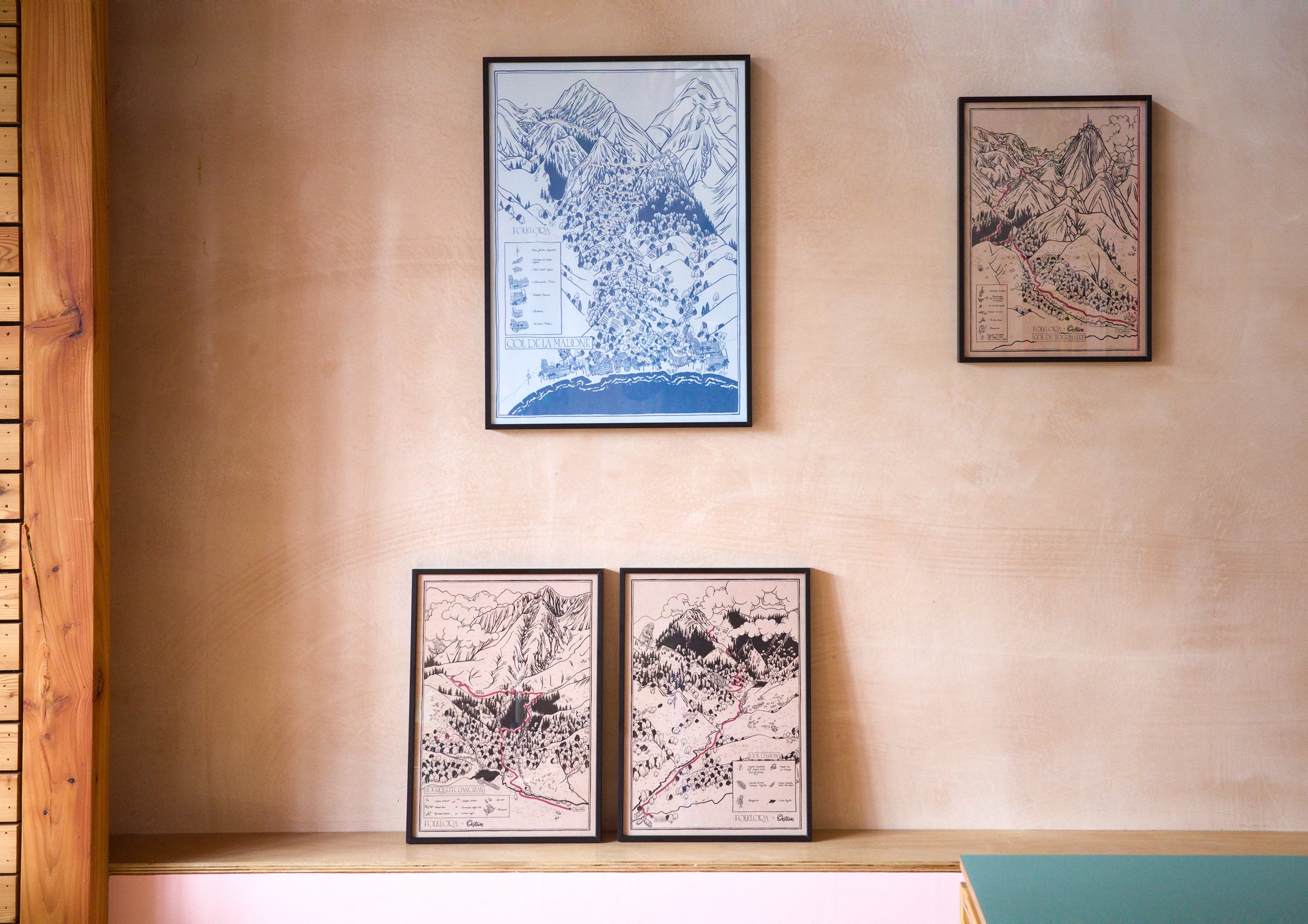
The climbs, passes and roads that have become part of cycling folklore, each drawn individually and then produced as art prints. We begin in the Pyrenees — a landscape we love — with a series created in collaboration with Chez Octave, celebrating the legendary climbs on their doorstep.
Available here, or from Chez Octave at the summit of the Tourmalet.


